Google Maps adds speed limits and traps in 40+ countries

Google Maps has added the ability for drivers to see speed limits and speed traps in more than 40 countries.
The feature was previously exclusive to Waze, which is also owned by Google. It started making its way to Maps in January, but was limited to a small number of markets.
We all hate speeding tickets, but with Google Maps, they can be easily avoided. You’ll know exactly what the speed limit is at all times, and you’ll see upcoming speed traps on the road ahead.
Use Google Maps to avoid speeding tickets
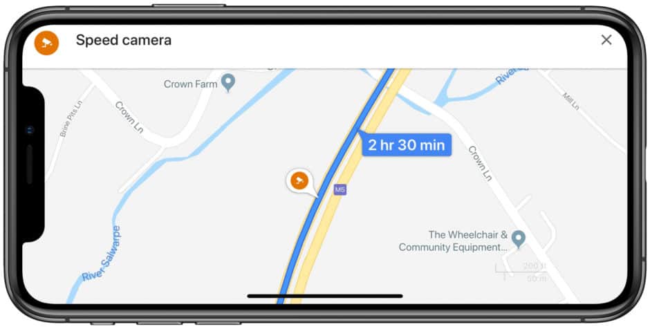
The speed limit is displayed in the bottom corner of the app for both Android and iOS users. Speed traps show up as little camera icons on the road where they’re located.
Android users also have the ability to report mobile and stationary speed cameras — and those updates will be viewable on both Android and iOS devices.
It’s not quite as powerful as Waze’s crowdsourced data, which also lets you see police, traffic collisions, road closures, gas prices, and more on the road ahead. But if you’re a regular Maps user, it’s a terrific addition to the app.
More than 40 countries supported
Here’s where you should see speed limit and trap data: Australia, Brazil, U.S., Canada, U.K., India, Mexico, Russia, Japan, Andorra, Bosnia and Herzegovina, Bulgaria, Croatia, Czechia, Estonia, Finland, Greece, Hungary, Iceland, Israel, Italy, Jordan, Kuwait, Latvia, Lithuania, Malta, Morocco, Namibia, Netherlands, Norway, Oman, Poland, Portugal, Qatar, Romania, Saudi Arabia, Serbia, Slovakia, South Africa, Spain, Sweden, Tunisia, and Zimbabwe.
It may take some time for the update to be rolled out to all users in these locations, so don’t worry if you don’t see it right away.
Via: TechCrunch


